
Shardlow - Peak District Walk
Sunday 18th May 2014
Today's walk saw us heading south and briefly venturing into Leicestershire as we opted for a gentle evening stroll around Shardlow.
Start: Wilne Lane car park (SK 4453 3048)
Route: Wilne Lane car park - Trent & Mersey Canal - Derwent Mouth - River Trent - Shardlow Marina - Trent & Mersey Canal - Wilne Lane car park
Distance: 3 miles Ascent: 13 metres Time Taken: 1 hour 30 mins
Terrain: Canal paths and fields.
Weather: Hot and sunny
Pub Visited: Navigation Inn, Shardlow Ale Drunk: Sharp's Doom Bar

The walk starts alongside the Trent & Mersey Canal

Almost every mooring along the canal was taken.
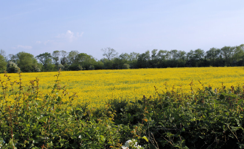
The fields next to the canal appear to be full of buttercups.

The junction of three waterways, in shot, to the left, is the River Derwent and to the right the River Trent. Out of shot is the start of the Trent and Mersey Canal.

There were plenty of boats sailing along the River Trent.

Strangely this bridge that we would use to cross the River Trent isn't marked on the map.

The old gravel pits are now full of water.

Our return route was along the path next to the River Trent at which point we were walking in Leicestershire.

Having crossed back into Derbyshire Shardlow Marina came into view.
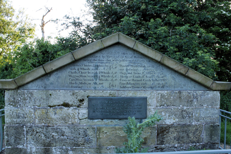
The toll charges to cross Cavendish Bridge were on diaplay close to where they would have been collected. It would have cost John and I two pence to cross.

The walk ended with a short stretch next to the Trent and Mersey Canal.
All pictures copyright © Peak Walker 2006-2023